Discover River4U: a decision support system for the management of flood alerts, created by MobyGIS
Hi MobyGIS! Can you present your team and company to us?
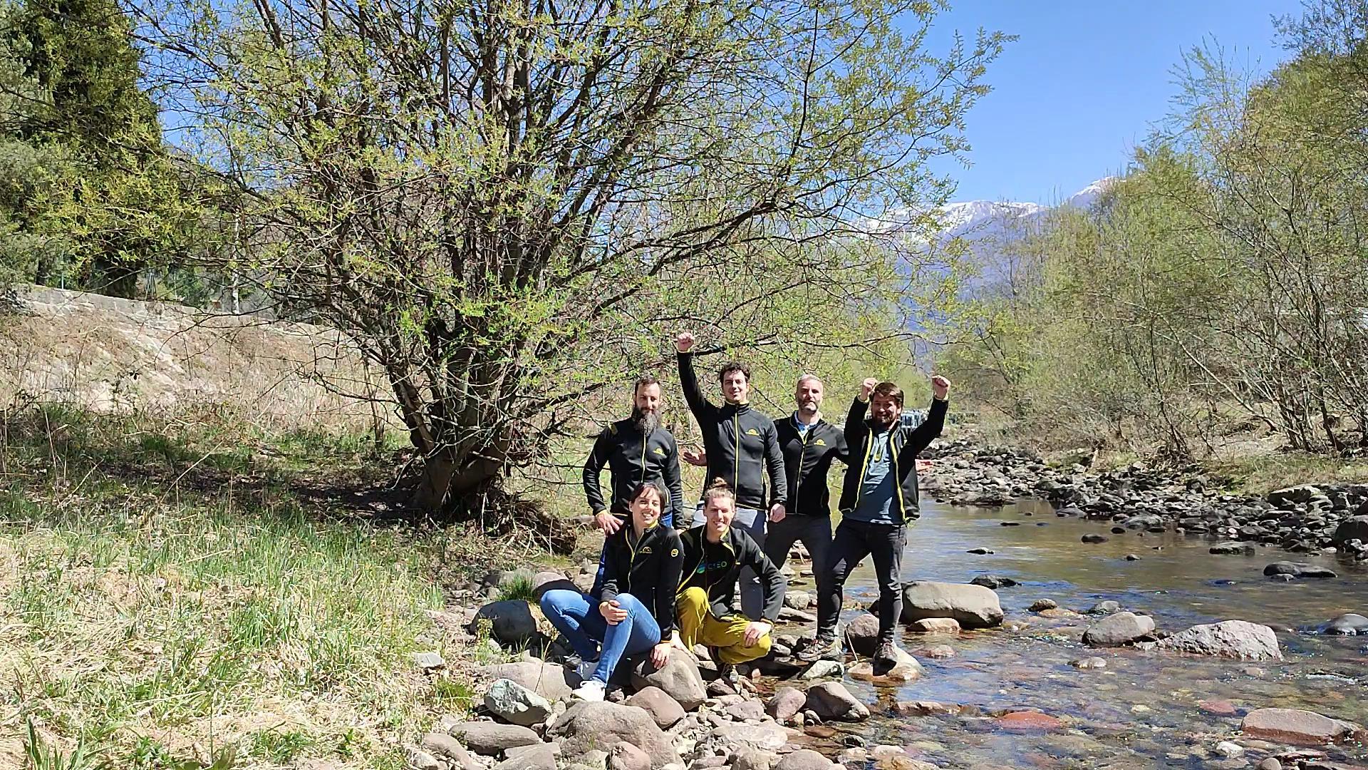
MobyGIS is an Italian SME operating in the hydro-meteorological sector. Through the brand Waterjade, MobyGIS offers to public and private companies solutions for water monitoring and water supply optimization. The team, made up of professional figures with expertise in hydrology, meteorology and remote sensing, boasts visibility in Europe through awards in the context of Big Data, Space and Climate Change.

How did you learn about REACH Incubator and what made you apply?
We came to know about REACH through our previous experience in EDI incubator.
You have brought forward your own challenge River 4U: short term water level DSS for Water Utilities. How do you think experimenting with and solving this data value chain challenge will set the foundations for scaling your solution?
Climate Change is posing increasing threats to Water Utilities and, in general, to all companies that are extensively using water in their industrial operations. Weather events are becoming ever more extreme, passing from drought to flood with increasing frequency. For this reason it is becoming urgent for Utilities to plan the water abstraction and anticipate the occurrence of water shortages and floods. As this is a global problem, we would like to take advantage of the REACH experiment phase to tailor the solution to a real case study (SMAT Water Utility of Turin, Italy) so that it can become a testimonial for the market expansion and be easily replicate in other case studies.
Please present your solution and elaborate on how it differentiates from the competition.
River4U is a decision support system (DSS) for the management of flood alerts tailored for Water Utilities. When the river level is expected to increase over a certain threshold, an alert is sent to the Utility in order to close the pipes that are releasing rain water in the river. This can prevent backflow in the pipes from the river that could cause flooding in the city. The solution uses a mix of physical models and machine learning, taking into account the meteorological evolution occurring in the upstream catchment. If the situation expects to worsen in the next 3 days, a machine learning model is triggered to predict the water level on the river network inside the city to monitor the evolution at specific points.
Do you foresee any obstacles in successfully developing and commercializing your solution?
The commercialization of a new service is always a challenge. Water managers are usually very conservative and need to be convinced before switching to a new system. To tackle this issue we want to take advantage of the REACH experiment phase to tailor the solution to a real case study (SMAT Water Utility of Turin, Italy) so that it can become a testimonial for the market expansion. Furthermore, we want to deploy the solution directly inside the SCADA system of the Utility in order to facilitate the system integration.
